
Frequently Asked Questions
What kind of drone services do you offer?
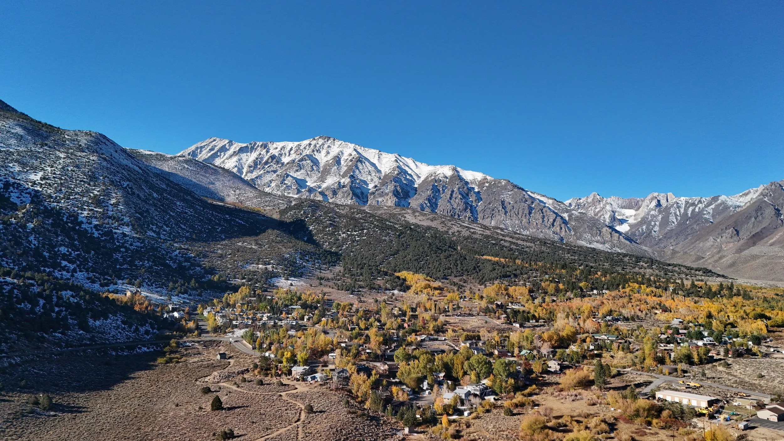
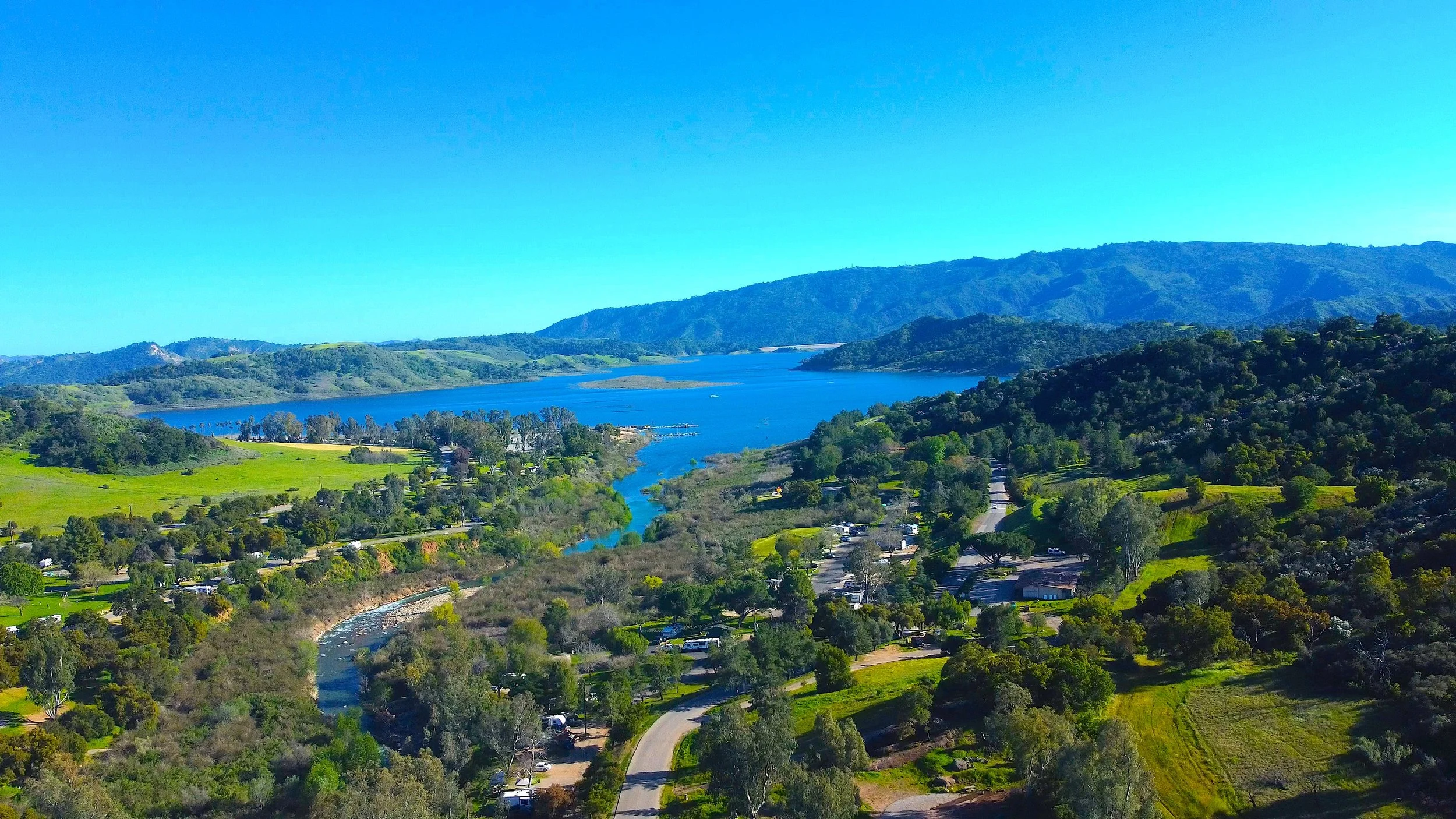
I provide a range of aerial solutions, including photography, videography, real estate/roof top documentation, and creative projects. Each flight plan is customized to match your goals and vision.
Are you a licensed drone pilot?
Yes — I’m FAA Part 107 certified, meaning I’m licensed to operate drones commercially and comply with all FAA safety and airspace regulations.
Do you have insurance?
Absolutely. I carry drone liability insurance to protect both your property and my operations, offering peace of mind on every mission.
How far in advance should I book?
For the best scheduling flexibility, it’s recommended to book at least 1–2 weeks in advance, especially during peak seasons or weekends. Rush projects can sometimes be accommodated.
Can you fly in restricted areas or near airports?
Yes — if authorization is granted. As a licensed pilot, I can request FAA airspace clearance when needed, ensuring compliance with all safety protocols.
What happens if weather affects the flight?
If conditions aren’t safe for flying, we’ll reschedule at no extra charge or adjust your flight plan for a later date.
How high and far can you legally fly?
Under FAA Part 107 regulations, I can fly up to 400 feet above ground level and within visual line of sight. Exceptions can be made with proper authorization for specific projects.
Can you shoot indoors?
Yes, in some cases. Indoor flights are possible in controlled environments like houses, warehouses, studios, or event spaces, provided it’s safe and permitted by the property owner.
What safety measures do you follow?
Safety is my top priority. I conduct pre-flight site inspections, check for obstacles and signal interference, maintain redundant batteries, and follow all FAA and local regulations.
Can you fly a drone over crowds or large groups of people?
In most cases, no — FAA Part 107 regulations prohibit flying directly over people who aren’t part of the drone operation. However, there are specific exceptions and safe alternatives.
Flights over people may be permitted if the drone meets FAA Category 1–4 safety requirements or if an operational waiver is obtained in advance. These exceptions are always planned and approved, never improvised.
For capturing crowded events or public gatherings, I focus on maintaining safety, distance, and compliance. Options include:
Filming wide shots from outside the crowd using telephoto lenses.
Capturing footage before or after the event when attendance is lighter.
Operating within controlled or restricted zones approved by the FAA.
In short, direct overflight of crowds is rarely allowed — but with planning and the right approach, creative and compliant aerial footage is still very achievable.
▸What file format do you use?
Photos are taken in RAW (DNG) format and film in MP4 format. The RAW (DNG) images are converted to JPG when edited if needed.
What is a RAW, or DNG, photo?
A RAW photo is the image produced by all of the raw data from the camera sensor. The image is large and minimally processed and is ideal for professional editing within applications like Adobe Photoshop and Affinity Photo. DJI drones save RAW images as .DNG files.
Who owns the footage after the shoot?
Clients typically receive full usage rights for all delivered content. Exclusive or raw footage rights can be arranged upon request.
What happens if something goes wrong during a flight?
In the rare event of a technical issue, I’m trained in emergency recovery protocols, and full insurance coverage protects both the project and your property.
Can you fly in restricted areas or near airports?
Yes — if authorization is granted. As a licensed pilot, I can request FAA airspace clearance when needed, ensuring compliance with all safety protocols.
Roof Documentation
What is roof documentation?
Roof documentation involves capturing high-resolution aerial images or videos of roofing structures for record-keeping, project progress, insurance purposes, or visual assessment. Unlike inspections, I provide the visual data only — interpretation or evaluation is left to your roofing or engineering professional.
How is roof documentation different from a roof inspection?
A roof inspection involves diagnosing or evaluating the condition of a roof — something only a licensed roofing contractor or certified inspector can perform.
My role as a licensed drone pilot is to collect accurate, detailed imagery so professionals can make informed decisions based on the visuals.
Do you use thermal imaging?
Currently thermal imaging is not offered.
Can you provide “before and after” documentation for repairs or construction?
Absolutely. I can capture pre-project and post-project aerials to clearly show progress, completion, and quality of work — perfect for client reports, portfolios, or insurance claims.
Do you provide roof measurements or damage reports?
No — I provide visual data only. Any measurements, reports, or structural conclusions should be made by a licensed roofing or inspection professional using the imagery I provide.
Is roof documentation available as part of your flight packages?
Yes. Roof documentation can be added to any Flight Package or booked as a standalone service. Pricing is based on property size, number of roofs, and data type (photo, video, or mapping).